
Math in… Global Positioning Systems
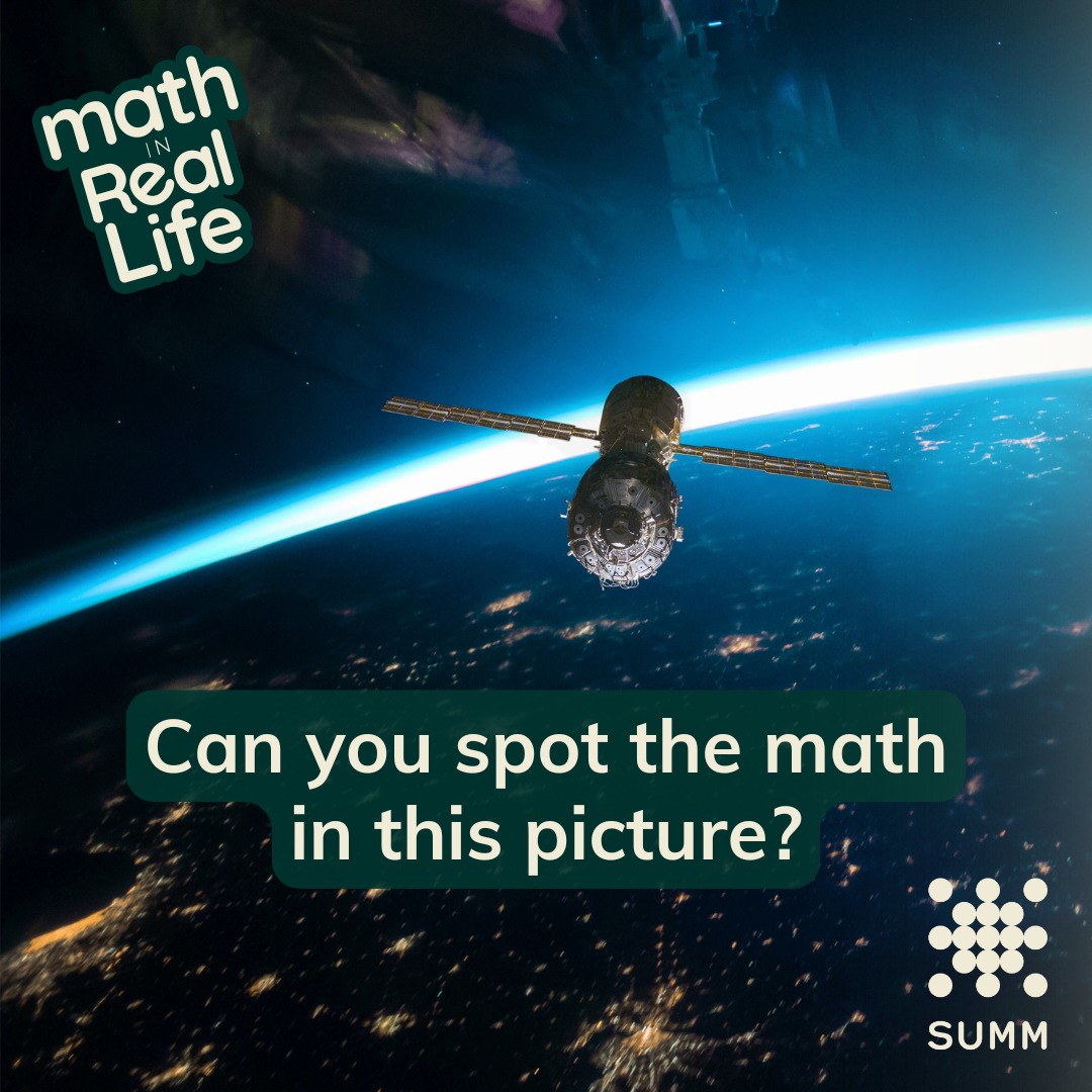
When you use GPS (Global Positioning System) to find your way around, it pretty quickly figures out where you are — but how?
GPS satellites continuously send signals that contain their positions and the times of transmission. A GPS receiver calculates its distance from the satellite by comparing the signal transmission and reception times.
Your location is determined by finding where the ranges (here, circles/spheres) intersect.
In 2D, things are a little simpler.

Knowing your distance to one satellite will tell you a circle on which you're located.

A second satellite will help pin your location down to two possible positions.
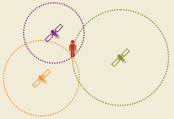
As long as it’s not collinear with the other two satellites, a third satellite will show your actual position.
In 3D, things get a little trickier.
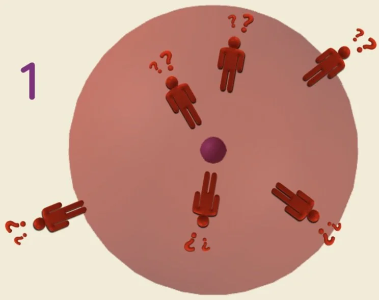
With 1 satellite,
you could be standing anywhere on the sphere.

With 2 satellites,
you could be standing anywhere on a flat circle.

With 3 satellites,
you could be standing at one of two points.
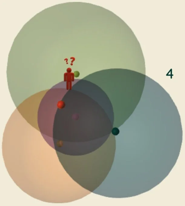
And with 4 satellites,
there’s only one place where you could be!
In practice, only one of the two points determined by the third satellite will be near the Earth’s surface, so the fourth GPS satellite is instead used to save GPS devices from having to have their clocks synchronized as precisely as the satellites, which would otherwise be necessary for the distance calculations.
In 1993, the United States created a network of 24+ geostationary GPS satellites orbiting the earth. This setup ensures that at least four satellites are always visible from anywhere on the planet.
A GPS device can accurately determine your position by connecting to four satellites. Knowing where the satellites are in their orbits helps the device show your exact location on a map!
What do you use GPS for in your daily life?